Navigating Malheur Lake takes a special kind of vessel. The airboat’s powerful engine, combined with the flat, teflon bottom, makes it capable of navigating the lake at its deepest (5 feet) and shallowest (up to an inch). And, yes, they are as fun to do surveys from as you might imagine. We use the airboat to conduct random transects of shoreline habitat, which change throughout the season as water levels in the lake fluctuate.
While scanning for shorebirds ranging in size from a Sandhill Crane to a Least Sandpiper, it is easy to understand how and why Malheur Lake provides an important layover for traveling the Pacific Flyway. The Pacific Flyway, an aerial highway if you will, is sandwiched between the Pacific Ocean and the Rocky Mountains and is the western most route for migrating birds. Along the flyway green spaces, intact wetlands, and other protected areas provide critical stopover habitat for these weary travelers. During these “layovers,” our international, national, and regional migrators rest and feed on protein and fat-rich foods, such as new vegetation, seeds, mollusks, and insects.

In low water years, Malheur Lake becomes an expansive mud flat, providing foraging areas for thousands of fall migrants. In 2018, on one fall shorebird survey, we found more than 1,400 Killdeer foraging on the mudflats. This year, in the same time period, we found 6 Killdeer. The large change in Killdeer numbers from 2018 to 2019 is reflective of the variability of water levels in Malheur Lake. This year, lake levels remained high enough that there was little mudflat rimming the lake. Last year, the lake was less than 10,000 acres in size by fall, meaning there was abundant mudflat habitat available for probing shorebird bills.
Yet again, here is an important reminder of the importance of diverse habitats. The Killdeer, sandpipers, and phalarope that were using Malheur Lake in fall of 2018, were foraging and resting in other mudflat habitats on the refuge in 2019. As Malheur Lake restoration moves forward, and hemi-marsh (shallow marshes with emergent vegetation) is re-established, what will happen to Malheur’s shorebird populations? These surveys will provide the information necessary to answer this question.

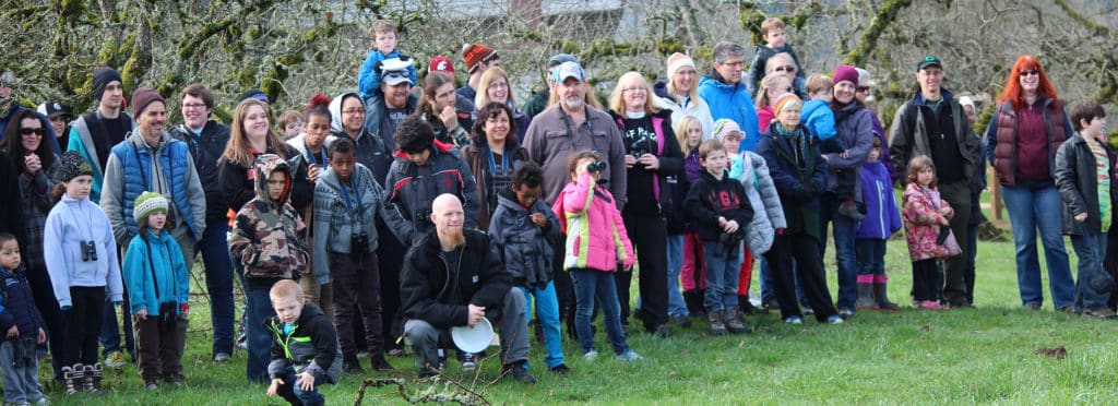
In the meantime, Bird Alliance of Oregon is working with Malheur National Wildlife Refuge and other retired and current agency employees to restart shorebird surveys in other wetlands and playas on the refuge and surrounding lands. Migrating birds face ever growing threats from development, habitat loss due to changes in water use associated with agriculture, and increasing salinization of interior lakes.
A recently published USGS study found that if Great Basin lakes and wetlands become too saline, or if their water is diverted for other uses, migrating shorebirds, waterfowl, and other waterbirds will face a serious dilemma. This dilemma largely centers on the fact that millions of shorebirds depend on the Great Basin for stopover habitat, the next nearest stopover is 80 kilometers south of the Great Basin, a distance exhausted migrants would not likely make (Haig, Murphy, Matthews, Arismendi, & Safeeq, 2019). During the breeding and migration season (April-Sept) these numbers include up to 90 percent of the Wilson’s Phalarope populations and 50 percent of the American Avocet population. While Malheur doesn’t host the entirety of these numbers, we do see hundreds of Wilson’s Phalarope and American Avocets on the lakes and mudflats each year.