This project is not about creating new policies—it is simply about ensuring that protections are accurately applied to natural resources where they exist. While this is kind of “wonky” stuff, accurately mapping and applying natural resource protections is foundational to protecting our environment. It is absurd to use long outdated maps, when new much more accurate mapping exists.
Take Action
Please write to the Portland City Council and let them know that you want them to proceed forward and adopt the Updated Environmental Zone Mapping. Use the subject line “Please support passage of the Ezone Map Correction Project”.
mayorwheeler@portlandoregon.gov
comm.rubio@portlandoregon.gov
MappsOffice@portlandoregon.gov
CommissionerRyanOffice@portlandoregon.gov
joann@portlandoregon.gov
Talking Points:
- It is critical that council adopt the Ezone Map Correction Project.
- Updated Ezone maps are needed to replace the existing inaccurate maps and allow the CIty to meet its own natural resource protection policies. This project will ensure Portland’s long-standing natural resource protections will be applied correctly and as intended.
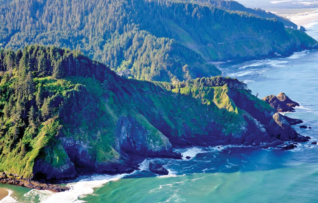
- Protecting Portland’s streams, wetlands, steep slopes, forests/woodlands, and wildlife habitat has never been more important. Given the climate crisis, we know that flooding, landslides, and wildfires are becoming more frequent and intense. The updated Ezone maps will help mitigate the climate crisis by better protecting its streams, floodplains, wetlands, and forest/woodlands, which in turn sequester carbon, mitigate flooding and landslides impacts, and help cool and purify air and water, and provide habitat for threatened and endangered fish and wildlife.
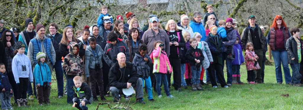
- This project reflects substantial public investment and unprecedented “boots on the ground” and connection with property owners. This project has been a huge investment for the city and the community. For more than three years the staff went to meet with Portlanders at their own meetings, and conducted more than 600 site visits to individual properties where property owners and staff conferred about the effort and the natural resources on the site.